Little Orchard Workshop
World Atlas of 1880 The Age of Exploration
World Atlas of 1880 The Age of Exploration
Couldn't load pickup availability
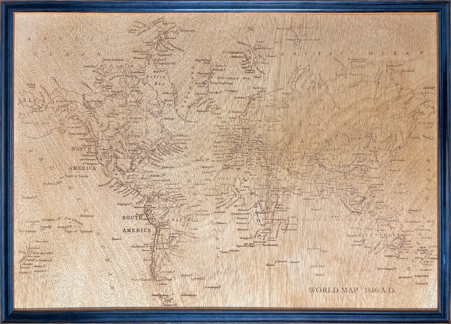
This map design is a true labour of love project. The Age of Exploration is a map that shows the British Empire as it neared its zenith. But to recreate this map in the detail needed in order to read the map is extremely difficult. The map that you see in the picture is for sale. But I would invite you consider commissioning the same design at a larger size such as 1000mm by 700mm if would be more expensive but the readability and other details would be much better.
The result is an original carved artwork, informed by historical maps rather than a direct reproduction.
It is A2 in size.
The map is carved into high-quality beech plywood, selected for its stability and clean cutting characteristics. Once carved, the surface is sealed and varnished to enhance contrast and durability, before being mounted and framed in a solid wooden frame, ready for display.
Share